Stowe Trail Alignment


20 Years in the Making - The Authorization of the Historic Stowe Trail
Land Manager: US Marines
Resources:
Permitting details are available on the MCAS Miramar website HERE.
When your permit expires after one year and you wish to renew, you will need to complete an application and resubmit as outlined on the MCAS Miramar webpage.
2023-2025: Temporary Entry from the Santee side of the Stowe Trail is at a gate at the North End of Strathmore due to water project construction. Please do NOT park on Strathmore. Park down near old Ganley Gate and ride up to the new Strathmore Gate.
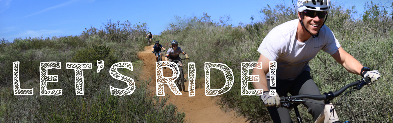
The Stowe Trail extends just over two miles from north to south along the extreme eastern boundary of MCAS Miramar between Santee Lakes and Sycamore Canyon/Goodan Ranch Preserve. Over 100 years ago, the Stowe Trail was a vital transportation link connecting the township of Stowe and Poway to Santee and El Cajon. This trail was even dedicated as an official Millennium Trail in 2001. Decades ago, the military absorbed this extreme eastern section of the trail cutting off legal access. Lacking a legal connection, residents continued to use this historic trail for recreation and commuting. Despite the best efforts of the community and elected officials, an official legal route was never finalized. The true trail champion has been County Supervisor Dianne Jacob who has been working on this project for over 20 years.
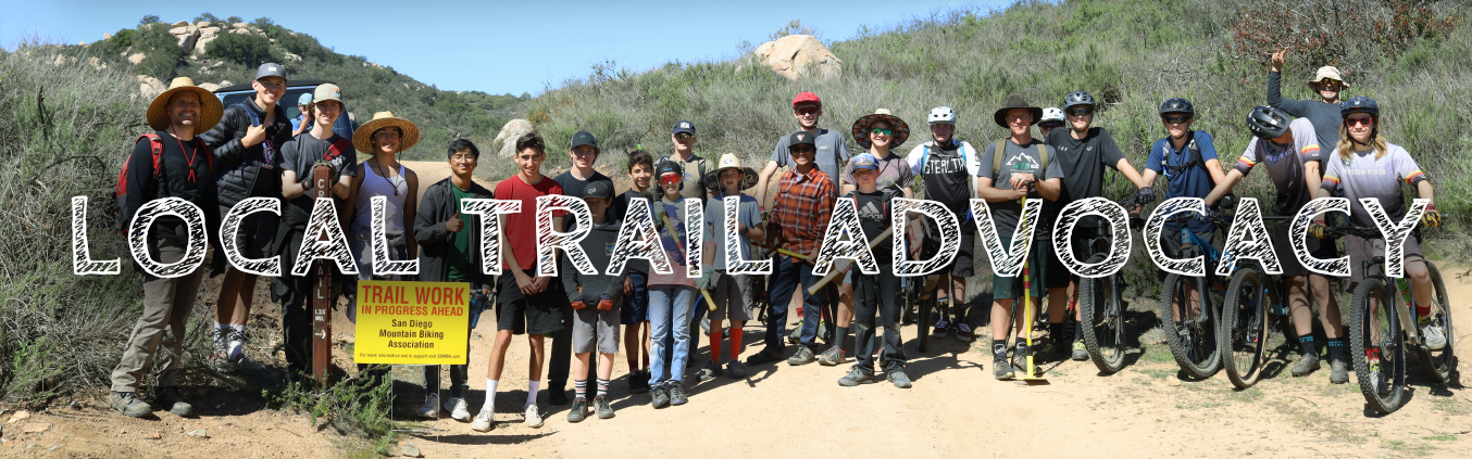
In January 2016, conflict erupted with almost 50 bikes confiscated by Military Police. The San Diego Mountain Biking Association took a leadership role in pushing for a viable solution all parties could embrace. This vital community connector would be valued by all trail users - mountain bikers, equestrians, hikers, and trail runners. Part of this effort included a very large SDMBA advocacy meeting that took place on February 1, 2016. You can see the energy of that meeting in this video.
For the rest of 2016 and into the new year, SDMBA volunteer advocates - including large lifts by SDMBA President Kevin Loomis and Vice President, Ben Stone - worked closely with representatives from MCAS Miramar and other concerned groups to get a plan in place to get the trail approved for use. SDMBA leadership along with representatives from the Marines spent days out in the field, refining the placement of signage, identifying the desired alignment, and also determining routes that would be decommissioned.
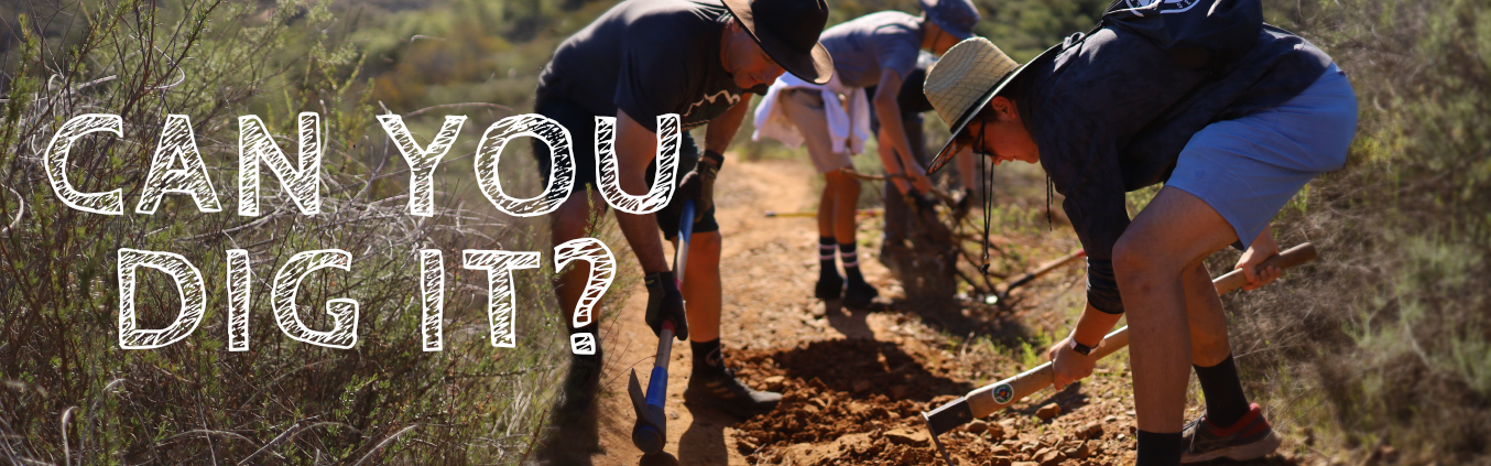
On April 1, over 50 volunteers representing different trail user groups worked alongside Marines to brush and block off the determined decommissioned routes to get the designated trail ready for use. SDMBA appreciates the support of groups such as the San Diego Trails Alliance in this effort.
The successful negotiation of this project involved not only the Marines, but the Cities of San Diego and Santee, the County of San Diego as well as Padre Dam Municipal Water District and the developers Pardee Homes and HomeFed Corporation. Many local elected officials also took up the cause as well, including Congressman Duncan Hunter, Congressman Scott Sherman, City of San Diego Councilman Scott Peters, and City of Santee Councilman Brian Jones.
SDMBA President, Kevin Loomis stated, “In today’s political environment where there is fighting among almost all parties, it is a joy to see that in this case everyone came together to gain access to this historic trail.”
2021-22: Permitting process continues with the US Marines. SDMBA continues to monitor discussions and updates between interested parties about future easement changes or land acquisitions that may lead to easier access to this historic trail alignment.