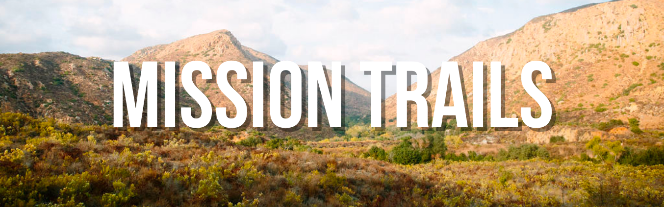
Mission Trails Regional Park
Land Manager: City of San Diego
RESOURCES
- Mission Trails Regional Park Webpage
- Current Trail Map for Mission Trails Regional Park *please note that trails north of the 52 freeway are not authorized
- Master Plan Update webpage
- Master Plan Update
Mission Trails Regional Park (MTRP), managed by the City of San Diego, encompasses more than 8,000 acres of both natural and developed recreational areas. Its rugged hills, valleys and open areas represent a San Diego prior to the landing of Cabrillo in San Diego Bay in 1542. Centrally located and only eight miles northeast of downtown San Diego, Mission Trails Regional Park provides a quick, natural escape from the urban hustle and bustle.
Mission Trails Regional Park (MTRP), managed by the City of San Diego, encompasses more than 8,000 acres of both natural and developed recreational areas. Its rugged hills, valleys and open areas represent a San Diego prior to the landing of Cabrillo in San Diego Bay in 1542. Centrally located and only eight miles northeast of downtown San Diego, Mission Trails Regional Park provides a quick, natural escape from the urban hustle and bustle.
Started in 1974, Mission Trails Regional Park has become one of the largest urban parks in the United States. Originally used by the Kumeyaay, the park is the site of the Old Mission Dam, built to store water for the Mission San Diego de Alcala. With about 60 miles of trails, boating on Lake Murray, camping at Kumeyaay Lake, numerous informative hikes, and a state-of-the-art Visitor and Interpretive Center, Mission Trails Regional Park has something to offer everyone.
As part of the MPU process, a Natural Resource Management Plan (NRMP) has also been prepared. The NRMP, a requirement of the Multiple Species Conservation Program (MSCP), has been developed concurrently with the MPU to ensure that protection and management concerns for both environmental and cultural resources have been fully assessed and integrated into the MPU.
A Programmatic Environmental Impact Report (PEIR) has also been prepared as a part of this effort to ensure compliance with the California Environmental Quality Act (CEQA) for all proposed facilities and management activities planned as part of both the MPU and NRMP.
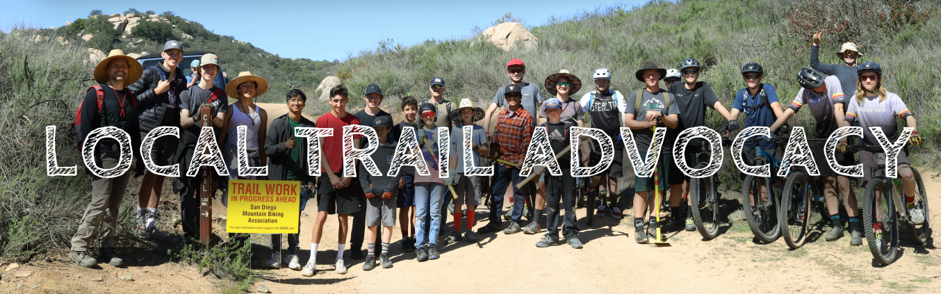
The Mission Trails Regional Park Citizens’ Advisory Committee and Task Force, of which Kevin Loomis (SDMBA president) is a sitting member, approved the MPU at their public meeting on March 7, 2017. The MPU will next go to the Task Force and the San Diego City Council for Approval soon. The approval of the MPU has been delayed for almost a year because certain environmental agencies want clarification on certain details. While the approval of this plan does not make the new trails shovel ready, it is a major step is making Mission Trails Regional Park a better place to ride bikes, hike and experience nature.
2019 Update: The MPU was approved by the City of San Diego Planning Commission on March 4, 2019 and by the Environment Committee on April 18, 2019 and by the City Council on May 21, 2019. The Plan needs to be signed by the Mayor of San Diego and then will continue on to the County Board of Supervisors for approval of the portions of the plan that fall under joint management (Cowles Mountain).
2020 Update:
Kevin Loomis, SDMBA representative, was appointed to the CAC for the multi-use seat. In addition, Kevin sits on the trails subcommittee which is responsible for what trail projects are prioritized within the Master Plan Update (MPU). Due to this, the East Elliot loop trails are being advanced as one of the first projects to be implemented. In addition, the city has made strong progress regarding finalizing the southern leg of the Stowe Trail. This proposed new access will add some distance to the current traill starting from Mast Blvd in Santee. While a free MCAS Miramar Stowe permit is required, this trail connects to multiple trail networks to the North that can eventually get you all the way to Black Mountain and Penasquitos areas.
2021-22 Update:
East Elliott is an area of land in Santee north of the 52 freeway. The City of San Diego has recently acquired land area which will become part of Mission Trails Regional Park (MTRP). There is a proposed, robust trail system within East Elliott as seen in the approved Mission Trails Regional Park Master Plan Update. (Refer to page map on page 3.86 of the MPU). This trail system will link Oak Canyon to Spring Canyon and Spring Canyon to the Stowe trail. Please know we are years away from any trail being built.
The first step was getting the Master Plan Update approved by the San Diego City Council, which happened unanimously June of 2019. Before COVID, the MTRP Citizens Advisory Committee (CAC) created a planning subcommittee. Kevin Loomis, Vice President of the San Diego Mountain Biking Association sits on this committee. The proposed East Elliot trails plan was selected in early 2020 by the CAC as one of the implementation priorities of the Master Plan Update. Due to Covid, CAC and other planning meetings for the park were delayed. Fortunately, meetings have resumed and the process has restarted. Getting these parcels acquired along with the needed environmental permits are a priority for the City.
In November of 2021, the Master Plan Update Implementation Priorities were released. This list included 12 priority projects which all will require funding. The projects include: land acquisitions in East Elliot that provide trail connections, improvement to Visitors Center Loop Trail, construct a new loop trail from the existing South Fortuna Trail providing improved rock climbing access Construct a new trail connection from Climbers Loop Trail to Kwaay Pay Peak, construct a new East Elliott hike/bike loop trail and support efforts to create a publicly accessible Stowe Trail Corridor. More info on priority projects can be found HERE.
Several sections of the trails north of the 52 freeway cross over private property and into military property. . The San Diego Mountain Biking Association continues to advise that no trail users should be accessing the trails north of the 52 freeway.
Progress on connections near the Weston community (formally known as Castle Rock) off Mast Boulevard across from West Hills High School continue to be worked on. The city continues to work on their environmental approval linking this community north to the Stowe Trail. There are private property concerns and/or acquisitions that have to be addressed in this area for this connection. Once complete, there will be two southern points of access to the Stowe Trail. Please remember, to access the Stowe Trail, you must obtain a free annual permit from MCAS Miramar. For more information on the Stowe Trail and how to obtain a permit, click here.
The San Diego Mountain Biking Association continues to work with the city, county and many other groups to bring to fruition the 20+ miles of new trail within the MTRP Master Plan Update. Like everything in San Diego, it’s a long process but we remain steadfast and will see this through.
The public drafts of the MTRP MPU, NRMP and Community Plan Technical Amendments are provided below for your information.
Mission Trails Regional Park Master Plan webpage with links to documents
A Bridge for Max - San Diego River Crossing at Jackson Drive
Learn more and Donate HERE
In January 2021, Max Lenail, a pre-med student at Brown University, went on a hike at Mission Trails Regional Park in San Diego County. Max was on a popular hike in the Fortuna Peaks area, and just a few minutes away from the Visitor Center Loop on a very stormy day. Sadly, Max drowned while hiking on a dangerous part of the trail, crossing the San Diego River. This tragic accident has spurred a major outpouring of support for a bridge at this crossing.
The Lenail family has gathered considerable financial and political support with all stakeholders to get this fitting tribute for Max completed on a very aggressive timeline. SDMBA has been involved with this effort since the terrible loss of Max and fully supports the Lenail family in their effort.
This crossing of the San Diego River (at Jackson Drive) is notoriously dangerous and floods with most every rain event. Trail users of all types must pick their way across over slipper rocks and old cement material. The bridge at this location was identified as one of the first priorities to get done as part of the Master Plan Update.